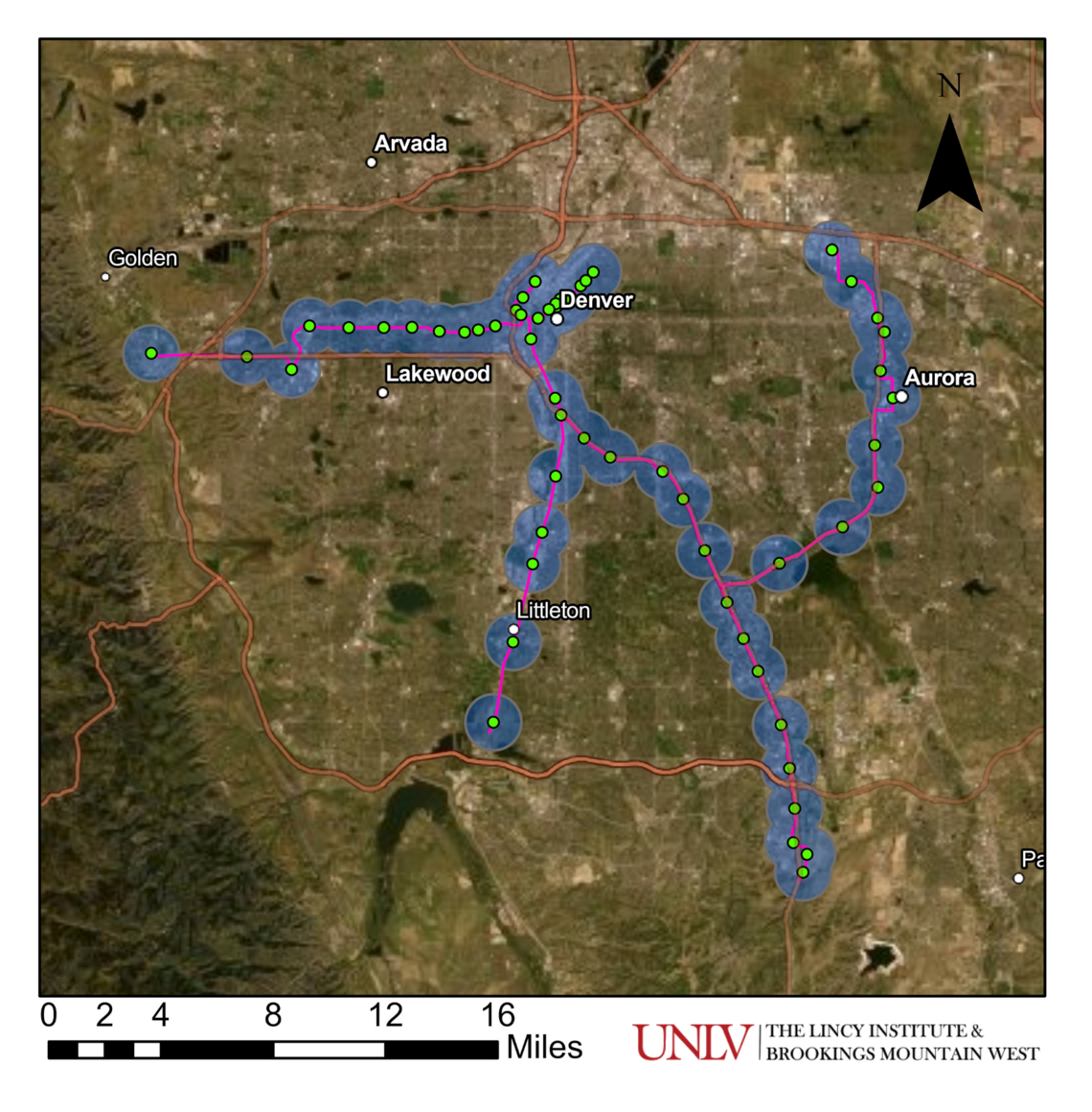
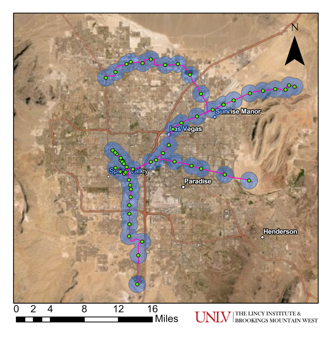
The Denver RTD Light Rail began its first operation in 1994 and extended service in 2000, 2002, and 2006. The length of the route is about 60 miles with 57 stations. A one-mile radius buffer around each station covers approximately 64 square miles. This system would service most of the major commuting areas in the Las Vegas metro. The map on the left shows the actual light rail system in the Denver metro and the map on the right depicts what that metro's light rail system would look like if incorporated across the Las Vegas Valley.
Denver Light Rail
Denver Light Rail mapped to the Las Vegas Valley
These data visualizations are created from publicly available information derived from RTD Open GIS Data.
Data Source: RTD Open GIS Data. Year: 2022. Retrieved in October 2022. Visualization by Dr. Jaewon Lim and Joshua Padilla. © The Data Hub at The Lincy Institute and Brookings Mountain West, UNLV.