Peripheral Flood Control Structures of Las Vegas
When
Campus Location
Office/Remote Location
Description
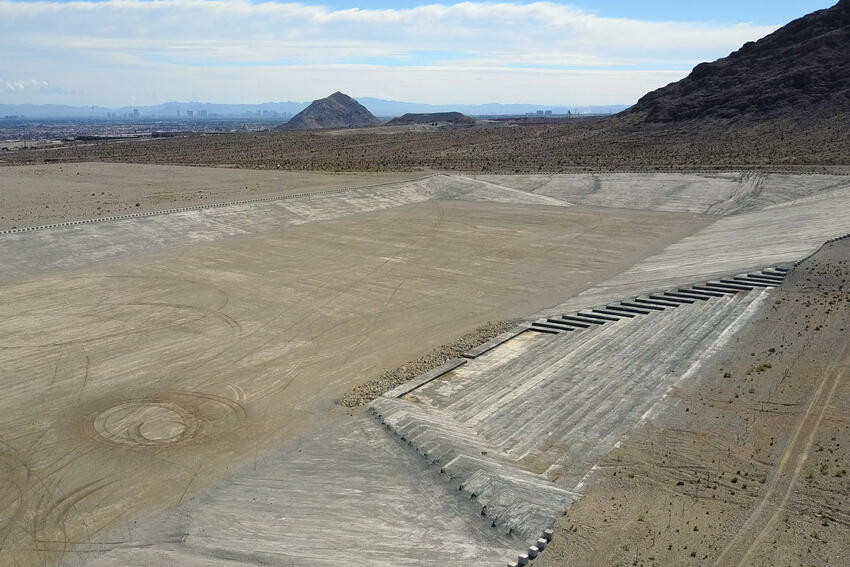
The nation’s supreme desert city, Las Vegas lies in a riverless valley, baking in the sun. When it rains, storms can be sudden and strong, generating flash floods that threaten the city. Defense against this attack has grown with the expanding urban land itself, and there are now more than 100 detention basins in and around Las Vegas to absorb the shock of flood, and hundreds of miles of concrete channels to contain the flow through the city. The headworks of this system are a battery of bulwarks that ring the city at its outermost edge, beyond which little is built. They are massive marginal sculptures of aridity and stasis, waiting for the flood.
This exhibition features recent photography and video from the Center for Land Use Interpretation. Founded in 1994, the Center for Land Use Interpretation is a research and education organization interested in understanding the nature and extent of human interaction with the earth’s surface, and in finding new meanings in the intentional and incidental forms that we individually and collectively create. The Center produces exhibitions, presentations, tours, publications, online resources, and other public programs that examine, describe, and explain the built landscape of the United States.
Image credit: Center for Land Use Interpretation Archive
Admission Information
This event is free and open to the public.
External Sponsor
Center for Land Use Interpretation of Los Angeles, UNLV Marjorie Barrick Museum of Art, Donna Beam Fine Art Gallery, and the UNLV College of Fine Art